 |
| Google Earth image of Puerto Refugio and the north end of Isla Angel de la Guarda |
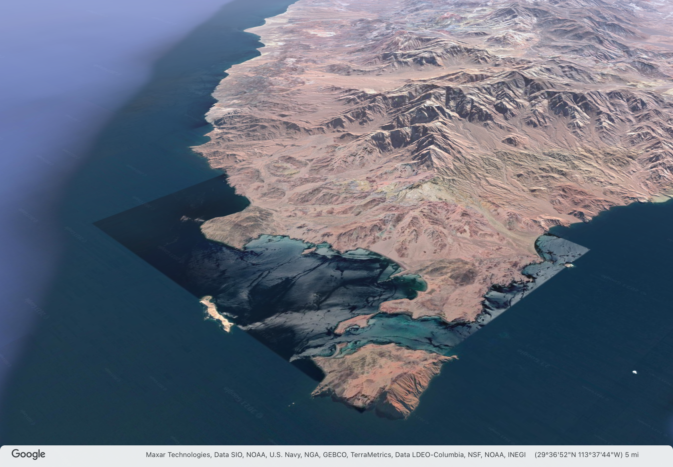
In yesterday's post, I forgot to mention that Port Refugio is a new place in the Sea of Cortez for me, I've never been here before and this is the furthest north I've sailed. We are now most definitely in the northern Sea of Cortez, by several measures.
There are two states on the Baja California peninsula, Baja California and Baja California Sur (South). The border between them is roughly halfway along the peninsula right along the line of latitude 28.0 degrees N. The state of Baja California runs north to the US border, Baja California Sur runs south to Los Cabos at the tip of the peninsula. We crossed state border during the passage from Santa Rosalía to Bahía San Francisquito.
The US National Weather Service divides the Sea of Cortez (Gulf of California) into three zones, northern, central, and southern. The dividing line between the central and southern zones is also at about latitude 28N on the Baja side of the sea. The weather here is more closely affected by what's happening in the Great Basin of the US than the south. The winds are stronger in the winter, though I'm not seeing a big difference between north and south this time of year.
Puerto Refugio is at latitude 29.3 degrees N, almost 80nm north of this dividing line. It was the northern limit of John Steinbeck's voyage in 1941 on the Western Flyer which he chronicled in his book Log from the Sea of Cortez.
 |
| Voyage of the Western Flyer from Steinbeck's Log from the Sea of Cortez |
As the Western Flyer sailed north from Loreto, Steinbeck writes about the difference in the fauna of the southern and northern sea and the interesting puzzle it presented at the time to biologists:
Little fragments of seemingly unrelated information will sometimes accumulate in a process of speculation until a tenable hypothesis emerges. We had come on a riddle in our reading about the Gulf and now we were able to see this riddle in terms of the animals. There is an observable geographic differential in the fauna of the Gulf of California. The Cape San Lucas-La Paz area is strongly Panamic. Many warm-water mollusks and crustaceans are not known to occur in numbers north of La Paz, and some not even north of Cape San Lucas. But the region north of Santa Rosalia, and even of Puerto Escondido, is known to be inhabited by many colder-water animals, including Pachygrapsus crassipes, the commonest California shore crab, which ranges north as far as Oregon. These animals are apparently trapped in a blind alley with no members of their kind to the south of them.
The problem is: “How did they get there?” In 1895 Cooper advanced an explanation. He remarks, referring to the northern part of the Gulf: “It appears that the species found there are more largely of the temperate fauna, many of them being identical with those of the same latitude on the west [outer] coast of the Peninsula. This seems to indicate that the dividing ridge, now three thousand feet or more in altitude, was crossed by one or more channels within geologically recent times.”
Having reviewed the literature, we can confirm the significance of the Cedros Island complex as a present critical horizon (as Carpenter did eighty years ago) where the north and south fauna to some extent intermingle. Apparently this is the very condition that obtained at Magdalena Bay or southward when the lower Quaternary beds were being laid down. The present Magdalena Plain, extending to La Paz on the Gulf side, was at that time submerged. Then it was cold enough to permit a commingling of cold-water and warm-water species at that point. The hypothesis is tenable that when the isotherms retreated northward, the cold-water forms were no longer able to inhabit southern Lower California shores, which included the then Gulf entrance. In these increasingly warm waters they would have perished or would have been pushed northward, both along the outside coast, where they could retreat indefinitely, and into the Gulf. In the latter case the migrating waves of competing animals from the south, which were invading the Gulf and spilling upward, would have pocketed the northern species in the upper reaches, where they have remained to this day. These animals, hemmed in by tropical waters and fortunate competitors, have maintained themselves for thousands of years, though in the struggle they have been modified toward pauperization.
So, the Baja peninsula was once crossed by channels, roughly at the same latitude as the state border and this allowed the Pacific and Sea of Cortez fauna to mix. When the channels disappeared, a segregation of species occured. My own observations leave me with no doubt that the ecologies of the northern and southern Sea of Cortez are quite different. The water is colder here, there shores more rocky, the topography, above and below the water, more severe. It is less tropical here, more temperate. I'm sure a marine biologist would observe big differences in the marine life underwater.
From a human perspective, the northern sea is more remote, less people, less boats. There is less of a vacation feel to the place. All the other sailors I've spoken to (and there haven't been many) are also heading to Puerto Peñasco with purpose, to haul out for hurricane season. Apart from the occasional small recreational fishing boat from nearby Bahía Los Angeles, the only other boats have been a few small rough steel commercial fishing boats.
From this point on, I will be traveling waters and stopping in anchorages new to me (and uncharted by the Western Flyer). Tomorrow morning, we leave for Bahía Willard.